

Bekal Fort
Bekal is the largest and most well preserved fort in Kerala. It is situated in Bekal in Kasargod district. The fort is spread over 40 acres. . The important features of this fort are the water-tank with its flight of steps, the tunnel opening towards the south, the magazine for keeping ammunition and the broad and wide steps leading to the Observation Tower which is a rarity. This observation center had strategic significance in discovering even the smallest movements of the enemy and ascertaining safety of the Fort.
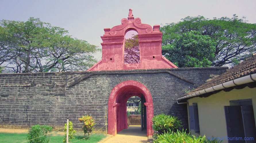
The Fort appears to have been built up from the sea since almost three fourth of its exteriors is drenched and the waves continually stroke the citadel. The Mukhyaprana Temple of Hanuman and the ancient Muslim Mosque nearby bear testimony to the age-old religious harmony that prevailed in the area. The zigzag entrance and the trenches around the fort show the defense strategy inherent in the fort.
Unlike most other Indian Forts, Bekal fort was not a center of administration for no remains of any palace, mansion or such buildings are found within the fort. Arguably the fort was built exclusively for fulfilling defense requirements. The holes on the outer walls of the fort are specially designed to defend the fort effectively. The holes at top were meant for aiming at the farthest points; the holes below for striking when the enemy was nearer and the holes underneath facilitated attacking when the enemy was very near to the fort. This is a remarkable evidence of technology in defense strategy.
This fort is more than 300 years old and is believed to have been built in the 1650's by Sivappa Naik of the Ikkeri dynasty. There is also another belief that it was originally built by Kolathiri Rajas and later captured by Sivappa Naik. The fort was occupied by Hyder Ali of Mysore in 1763 A.D and then the Huzur of Canara during Tipu Sultan's reign and later by the British.
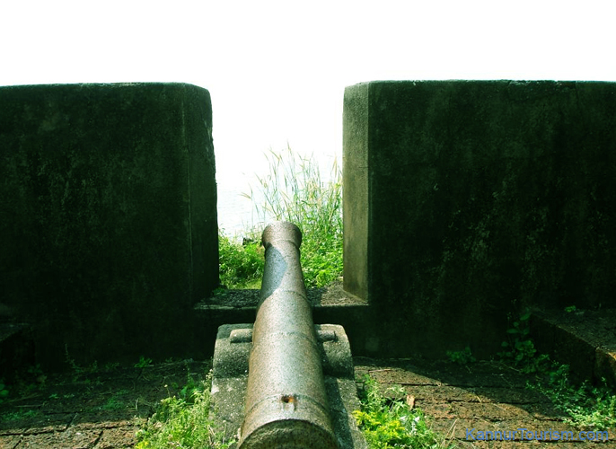
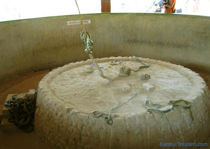
The magazine inside the fort closed to the public, is used to store weapons and ammunition and managed by the Archaeological Survey of India. The sea bastion located on the rocky projection, west of the fort also offers a magnificent view of the sea and the beach. There is a sea side pathway with a magnificent view of the fort to the east and the sea to the west linking the beaches north and south of the battlement. The Pallikere beach with its shallow waters is just a km. away from the fort.
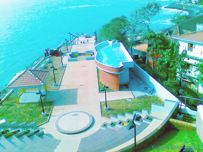
Due to its historic relevance, the fort is controlled by the Archaeological Survey of India. Coins and other historical artifacts were unearthed by archeologists making it an interesting excavation site. Bekal is also one among the five centres selected by the Government of India to be developed into a 'Special Tourism Area'. The Bakel aqua park offers boating facility in the backwaters near the Pallikere beach.
Location: Bekal, 3 kms north of Kannur
Nearest Railway Station: Bekal fort
Nearest major Railway Stations: Kanhangad, Kasargod
Nearest major Bus Stations: Kanhangad, Kasargod
Nearest Airports: Mangalore(50 kms), Kozhikode (180 kms).
See Bekal Fort's Picture Gallery - >
View Bekal Fort in a larger map

 Kannur is one among the northernmost districts in the south western state of Kerala in India. The old name 'Cannanore' is the anglicised form of the Malayalam word Kannur. Kannur might have derived its name from one of the the Hindu diety, Kannan (Lord Krishna) and Ur (place) making it the place of Lord Krishna. The deity of the Katalayi Sreekrishna temple was earlier situated in a shrine at Katalayi Kotta in the south eastern part of the Kannur town.